Discuss a Project
Tell us about your project, property, treatment area, or monitoring need. AIFS will review your information and contact you to discuss the project scope and appropriate next steps.
 01.
01.Wildfire Mitigation Project Documentation
Organized project records connecting treatment areas, mapped photographs, field observations, progress history, and future maintenance needs.
 02.
02.Pre- and Post-Treatment Field Evidence
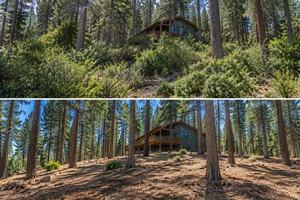
Mapped photographs, vegetation observations, measurements, and documentation of observable conditions before and after treatment.
 03.
03.Maintenance Monitoring
Annual, seasonal, or project-specific follow-up documentation that preserves treatment history and supports future maintenance planning.
 04.
04.Arborist Reports & Tree Risk Assessments
Independent ISA Certified Arborist site assessments, tree risk observations, and written reports tailored to the property and question at hand. Scope and pricing are provided after review.
Who We Support
Fire Safe Councils
Project documentation, mapped field evidence, treatment-area histories, progress records, and recurring maintenance monitoring.
Counties and Local Organizations
Clear records connecting project information, treatment areas, observable field conditions, and future maintenance needs.
Forestry and Vegetation-Management Contractors
Treatment-area maps, mapped photographs, field observations, progress records, access notes, exceptions, and organized completion documentation.
Property Owners
Property mapping, tree and vegetation inventories, before-and-after field records, and maintenance histories within a defined project scope.
Resource Conservation Districts
Organized records for landowner projects, treatment programs, vegetation-management work, and long-term stewardship.
Grant Recipients and Nonprofits
Field-documentation packages that may support internal project management, progress reporting, closeout preparation, and future project review.
Homeowners Associations and Communities
Shared documentation for common areas, private roads, evacuation routes, vegetation projects, and recurring maintenance needs.
Field Documentation Services Customized to the Project
Wildfire Mitigation Project Documentation
May include:
- Project-level documentation strategies
- Field documentation of baseline conditions
- Treatment-area mapping
- Mapped and dated field photography
- Documented field observations
- Recorded contractor progress in the field
- Verification of documentation coverage
- Record of field limitations (access, slope, vegetation, etc.)
- Maintenance-need monitoring
AIFS creates an organized project record connecting project information, treatment areas, mapped photographs, field observations, reported progress, documentation coverage, access limitations, and future maintenance needs.
Pre-Treatment Field Documentation
May include:
- Mapped photography of existing conditions
- Vegetation observations relevant to the scope
- Documentation of existing structures and improvements
- Verification of mapped treatment areas
- Identification of visible access constraints
Independent field documentation of vegetation conditions, structures, slope, access, and features before work begins. This record establishes the baseline state and identifies field observations relevant to project planning.
Advanced Capture Techniques for Complex Project Areas
Asset Integrity Field Service uses multiple field-capture methods to build a project record. The documentation approach is selected based on project size, vegetation density, terrain, accuracy requirements, and the intended use of the record.
Georeferenced Field Photography
Field photographs are mapped to their specific location and timestamped, creating an objective historical record of site conditions.
- May support:
- Project progress verification
- Historical site records
- Contractor documentation packages
- Before-and-after treatment records
High-Accuracy GPS and GNSS Mapping
AIFS uses professional GNSS receivers to map treatment boundaries, features, and field observations. AIFS field mapping is intended for project documentation and operational planning. It is not a licensed boundary survey.
- May support:
Planning for complex treatment areas
Mapped treatment-area references
Integration with client GIS and mapping systems
The Capture Technique Should Match the Project
Asset Integrity Field Service works with clients to determine the documentation level that supports their project objectives and long-term record-keeping needs. Simple photography and field notes are effective for some records, while complex or remote areas may require advanced mapping and aerial capture.
We help organize available information and capture objective field documentation so that projects move from planning through treatment to long-term maintenance with a clear, reliable history of conditions and actions.
What Happens After You Contact AIFS
1
Initial Information Sharing
You share existing project details, treatment areas, maps, and specific documentation needs. This helps AIFS understand the scale and focus of the project.
2
Proposal and Scope Development
AIFS reviews the materials and provides a detailed proposal centered on specific field-documentation deliverables, capture techniques, and service timelines.
3
Project Review and Coordination
We discuss the proposal with you to ensure the documentation plan matches your operational needs, reporting requirements, and project budget.
4
Independent Field Documentation
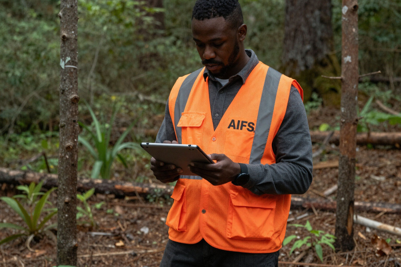
AIFS field professionals complete the documentation at the project site, managing all equipment, capture techniques, and data organization independently.
5
Deliverable Review and Handoff
The completed project record is provided for your review. AIFS ensures you understand the materials and how they connect to the observable field conditions.
Clear, Independent Field Documentation
AIFS provides field documentation, project monitoring, mapping, and capture services for defined wildfire mitigation and vegetation-management projects. We do not perform tree removal, brush clearing, or vegetation treatment work.
Our role is to provide a clear, mapped, and dated record for the client, organization, or project representative. This separation ensures that the documentation is focused on capturing observable conditions, limitations, and progress without a conflict of interest in the treatment work being documented.
AIFS field mapping and site documentation are intended for operational planning and project records. AIFS documentation does not constitute a licensed boundary survey, licensed engineering product, or tax assessment. We recommend coordinating with licensed professionals for any requirements falling under specific professional practice acts.